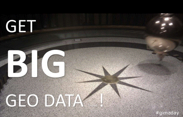
Get Big Geo Data!
 The inaugural GIMA day and conference, surely just the first in a series of many to come, recently took place at Wageningen University and was organised by NODE, the association of GIMA students. In case you are not familiar with the GIMA Master: “MSc GIMA is a two-year Master’s program (parttime & fulltime mode), helping you become an all-round manager, researcher and/or application specialist in the field of geo-information.” With well over 100 graduates and a great employment rate (in the field of this education as well), GIMA is setting the stage for a new type of master degree, as this one is a cooperation between four Dutch universities.
To an international audience of GIMA and not yet GIMA students alike the presenters gave their best English presentation. So did I. My contribution to this day was a 10 minute talk on a topic which will even be more relevant once these students have graduated: big data. In short: big data is changing the way we map our world. Get (as in “understand”) what is happening in regards to big data and consider using big data in your thesis.
Big data?
Overall it is not that interesting to get into a “definition of big data” discussion. But we are not talking “large online imagery” here, or “the whole county fits in our software, hence it is big data”. Big data to me relates to streams of real-time data, stored in a rather unstructured way and yes, we are talking petabytes at least.
Get – understand
Data has always been an important (if not the most important) non-human part of a GIS. This is increasingly so in a Web GIS environment. In many ways, new information products are more data driven than software driven. Data and software are two sides of the same coin, but data takes a more dominant role in the new domains.
Although the term “big data” suggests a quantitative change, I encouraged the audience to ignore that point for a change and to look at the qualitative changes which are happening to data. To name just a few:
Data is/was consciously collected by experts, is/becoming unconsciously collected by a crowd.
Data is/was structured, is/becoming unstructured. [1]
Data is/was on my pc/network, is/becoming on “my” cluster/cloud.
Most important: when we are able to collect ALL the data, instead of just a sample as we were used to, it changes the picture of how we observe our world. Is big data pushing statistics out?
Get – collect
 As many of the students still need to write a thesis, I urged them to look into this (near) real time component of data and to include that into their thesis. Lots of interesting research questions can be formulated related to big data in the geo realm. How does one compare big data sources with “small” data? What happens at the aggregation level? Does quantity of data effect visualization? How can readers of “maps” best interpret the data?
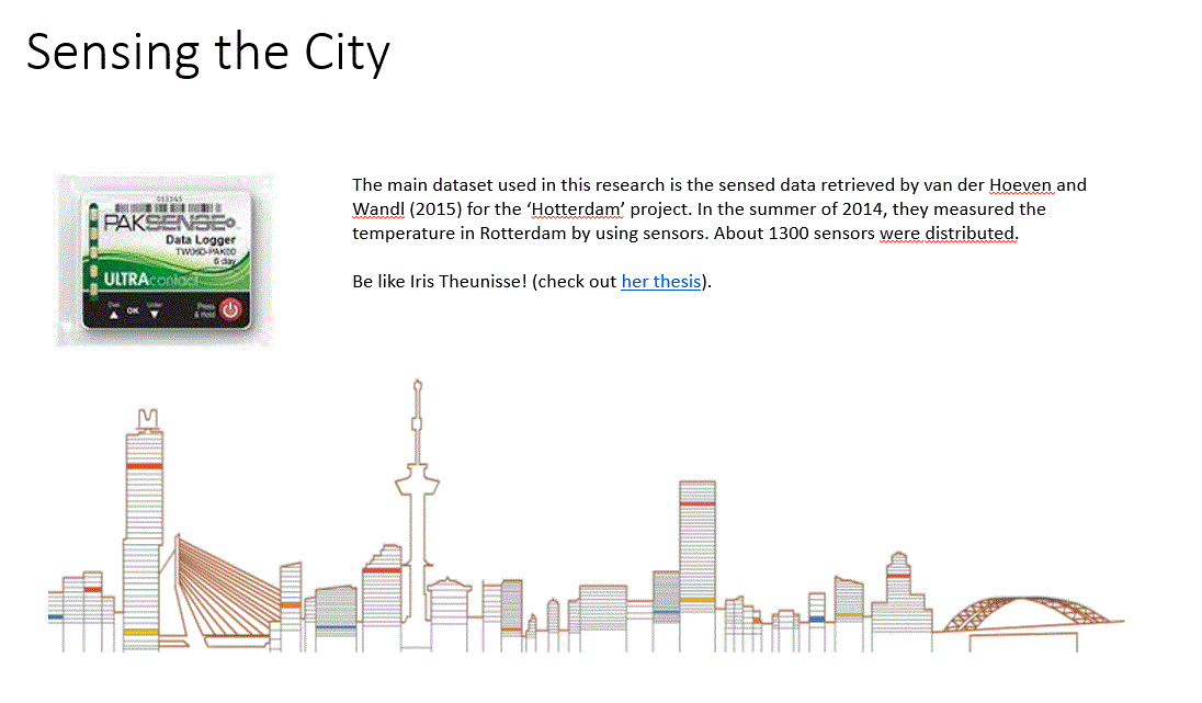
There is lots of great value to be discovered in big data. A good example is Iris Theunisse’s thesis on Urban Heat Islands (heat sensors) or Anne van der Veen’s winning contribution (GPS sensors) to the Esri Young Scholar programme. But do consider video and other raw data (sound) as a data source.
Maps
In my opinion, maps ought to be “moments in the process of decision making” [2]. In the beginning of my talk, I pointed out how I once was captured by legendary lands and places. Umberto Eco demonstrated how powerful maps can be, as they can even visualize non existing places, like Utopia. So what is happening to ‘the map’ now in the era of big data?
Without a doubt, when we are able to get more data, we have a higher chance of getting closer to reality. So big data is good news to the world of maps. But it is important to realise that maps still are just models of reality, limited by the maker of model. In my example of real-time traffic data: why is it when I run into a traffic jam, it is never on the map? It is because my model is updated only once a minute, and my traffic jams start right in the middle of that minute!
Compliments to the organisers of the day, it all was very smooth and timely, with lots of interesting conversations. I hope a few of those will turn into intriguing big data research. And I would even love to be proven wrong about its impact in a few years’ time.
* No apologizes for the imperatives and capitals in the title. Thought that would be quite appropriate for an audience of students.
[1] Davenport points out that lake of structure is the real hard part about big data. Big data at Work. Harvard Business Review Press.
[2] Jaques Bertin, as quoted in The Power of Maps, Dennis Wood. P. 185, The Guildford Press. – a good re-read.